
Search by Postcode
Map of the best Hotels near the B79 9LH Postcode in Edingale
We have searched high and low to find the best hotels near the B79 9LH postcode in the historic county of Staffordshire.
The B79 9LH postcode is situated in Edingale. We have found hotels nearby.
Use our easy to use hotel map or comprehensive accommodation listings to find the right B79 9LH hotel for you.
| Zoom Level | Latitude | Longitude |
| 6 | 53.521968 | -2.164306 |
Hotel Deals for B79 9LH Postcode in Edingale
The Nearest Hospitals to B79 9LH Postcode in Edingale
| Hospital Name | Operator | Distance Km | Distance Mi. |
|---|---|---|---|
| The George Bryan Centre | Plantation Lane, Tamworth, B78 3NG | 5.78 | 3.59 |
| Sir Robert Peel Hospital | Plantation Lane, Tamworth, Staffordshire, B78 3NG | 5.78 | 3.59 |
| Samuel Johnson Community Hospital | Samuel Johnson Community Hospital, Trent Valley Road, Lichfield, Staffordshire, WS13 6EF | 8.61 | 5.35 |
| Barton Under Needwood Cottage Hospital | Short Lane, Barton Under Needwood, Burton-On-Trent, Staffordshire, DE13 8LT | 10.56 | 6.56 |
Cheap Hotels near the B79 9LH Postcode in Edingale
The 10 nearest Budget hotels to the B79 9LH Postcode offering economy accommodation
| Budget Hotel Name | Distance |
|---|---|
| 1:
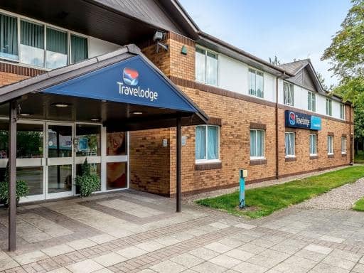
Travelodge Tamworth Central | 4.10 km (2.55 Miles) |
| 2:
Premier Inn Tamworth Central | 4.53 km (2.81 Miles) |
| 3:
Premier Inn Tamworth South | 8.41 km (5.23 Miles) |
| 4:
Travelodge Tamworth M42 | 8.75 km (5.44 Miles) |
| 5:
Premier Inn Lichfield North East A38 | 9.17 km (5.70 Miles) |
The Nearest Airports to B79 9LH Postcode in Edingale
| Airport Name | Distance Km | Distance Mi. |
|---|---|---|
| Birmingham International Airport | 24.12 | 14.99 |
| East Midlands Airport | 29.99 | 18.64 |
| Coventry Airport | 36.50 | 22.68 |
The Nearest Stations to B79 9LH Postcode in Edingale
| Station Name | Operator | Distance Km | Distance Mi. |
|---|---|---|---|
| Tamworth Low Level | London Midland Trains | 3.49 | 2.17 |
| Wilnecote | London Midland Trains | 6.50 | 4.04 |
| Polesworth | London Midland Trains | 7.24 | 4.50 |
Places to Stay near the B79 9LH Postcode
Oak Barn
| Oak Barn |
| Distance in Km 1.38 |
 |
| View entry for Oak Barn on Bed Map |
The Gungate
| The Gungate |
| Distance in Km 3.15 |
 |
| View entry for The Gungate on Bed Map |
Globe Inn
| Globe Inn |
| Distance in Km 3.69 |
 |
| View entry for Globe Inn on Bed Map |
The Peel Aldergate
| The Peel Aldergate |
| Distance in Km 3.75 |
 |
| View entry for The Peel Aldergate on Bed Map |
Victoria Apartments Tamworth
| Victoria Apartments Tamworth |
| Distance in Km 3.81 |
 |
| View entry for Victoria Apartments Tamworth on Bed Map |
Halford House Tamworth
| Halford House Tamworth |
| Distance in Km 3.96 |
 |
| View entry for Halford House Tamworth on Bed Map |
Castle Hotel
| Castle Hotel |
| Distance in Km 4.02 |
 |
| View entry for Castle Hotel on Bed Map |
OYO Tamworth Arms
| OYO Tamworth Arms |
| Distance in Km 4.10 |
 |
| View entry for OYO Tamworth Arms on Bed Map |
Travelodge Tamworth Central
| Travelodge Tamworth Central |
| Distance in Km 4.10 |
 |
| View entry for Travelodge Tamworth Central on Bed Map |
Argyle House Tamworth
| Argyle House Tamworth |
| Distance in Km 4.34 |
 |
| View entry for Argyle House Tamworth on Bed Map |
Holiday Inn Express Tamworth
| Holiday Inn Express Tamworth |
| Distance in Km 4.46 |
 |
| View entry for Holiday Inn Express Tamworth on Bed Map |
Liberal House Tamworth
| Liberal House Tamworth |
| Distance in Km 5.27 |
 |
| View entry for Liberal House Tamworth on Bed Map |
Westmorland House
| Westmorland House |
| Distance in Km 5.79 |
 |
| View entry for Westmorland House on Bed Map |
The Fazeley Inn
| The Fazeley Inn |
| Distance in Km 6.12 |
 |
| View entry for The Fazeley Inn on Bed Map |
Drayton Manor Hotel
| Drayton Manor Hotel |
| Distance in Km 7.15 |
 |
| View entry for Drayton Manor Hotel on Bed Map |
Wilnecote House
| Wilnecote House |
| Distance in Km 7.31 |
 |
| View entry for Wilnecote House on Bed Map |
Drayton Manor House
| Drayton Manor House |
| Distance in Km 8.36 |
 |
| View entry for Drayton Manor House on Bed Map |
Travelodge Tamworth M42
| Travelodge Tamworth M42 |
| Distance in Km 8.75 |
 |
| View entry for Travelodge Tamworth M42 on Bed Map |
Is a Hotel Missing?
Let us know the Name, Address and Postcode and we’ll add it to our listings.
Contact Us