
Search by Postcode
Map of the best Hotels near the BA13 4AH Postcode in Clearwood View, Westbury
We have searched high and low to find the best hotels near the BA13 4AH postcode in the historic county of Wiltshire.
The BA13 4AH postcode is situated in Westbury. We have found hotels nearby.
Use our easy to use hotel map or comprehensive accommodation listings to find the right BA13 4AH hotel for you.
| Zoom Level | Latitude | Longitude |
| 6 | 53.521968 | -2.164306 |
Hotel Deals for BA13 4AH Postcode in Clearwood View, Westbury
The Nearest Hospitals to BA13 4AH Postcode in Clearwood View, Westbury
| Hospital Name | Operator | Distance Km | Distance Mi. |
|---|---|---|---|
| Frome Community Hospital | Enos Way, , BA11 2FH | 4.69 | 2.92 |
| Warminster Community Hospital | The Avenue, , BA12 8QS | 5.14 | 3.20 |
| Chantry House Day Hospital | Frome Enterprise Resource Centre, Manor Road, Frome, Somerset, BA11 4BS | 5.80 | 3.60 |
| Trowbridge Community Hospital | Adcroft Street, Trowbridge, Wiltshire, BA14 8PH | 10.81 | 6.72 |
Cheap Hotels near the BA13 4AH Postcode in Westbury
The 10 nearest Budget hotels to the BA13 4AH Postcode offering economy accommodation
| Budget Hotel Name | Distance |
|---|---|
| 1:
Travelodge Warminster | 5.19 km (3.22 Miles) |
| 2:
Premier Inn Frome | 5.35 km (3.32 Miles) |
| 3:
Travelodge Beckington | 6.18 km (3.84 Miles) |
| 4:
Premier Inn Trowbridge | 10.70 km (6.65 Miles) |
| 5:
Travelodge Melksham | 18.05 km (11.22 Miles) |
The Nearest Airports to BA13 4AH Postcode in Clearwood View, Westbury
| Airport Name | Distance Km | Distance Mi. |
|---|---|---|
| Bristol International Airport | 36.75 | 22.83 |
| Bournemouth International Airport | 58.00 | 36.04 |
| Southampton Airport | 69.14 | 42.96 |
The Nearest Stations to BA13 4AH Postcode in Clearwood View, Westbury
| Station Name | Operator | Distance Km | Distance Mi. |
|---|---|---|---|
| Dilton Marsh | Great Western Railway | 3.29 | 2.04 |
| Frome | Great Western Railway | 4.56 | 2.83 |
| Westbury | Great Western Railway | 5.15 | 3.20 |
Places to Stay near the BA13 4AH Postcode
hidden wood glamping
| hidden wood glamping |
| Distance in Km 1.29 |
 |
| View entry for hidden wood glamping on Bed Map |
Heath House Farm
| Heath House Farm |
| Distance in Km 2.65 |
 |
| View entry for Heath House Farm on Bed Map |
Bwthyn Cudd
| Bwthyn Cudd |
| Distance in Km 2.75 |
 |
| View entry for Bwthyn Cudd on Bed Map |
Old Orchard Cottage
| Old Orchard Cottage |
| Distance in Km 3.80 |
 |
| View entry for Old Orchard Cottage on Bed Map |
Fairwood Lakes Holiday Park
| Fairwood Lakes Holiday Park |
| Distance in Km 4.43 |
 |
| View entry for Fairwood Lakes Holiday Park on Bed Map |
Puddledock Piggery
| Puddledock Piggery |
| Distance in Km 5.00 |
 |
| View entry for Puddledock Piggery on Bed Map |
Travelodge Warminster
| Travelodge Warminster |
| Distance in Km 5.19 |
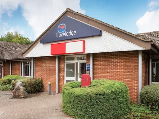 |
| View entry for Travelodge Warminster on Bed Map |
The Angel Inn
| The Angel Inn |
| Distance in Km 5.64 |
 |
| View entry for The Angel Inn on Bed Map |
Seymours Court
| Seymours Court |
| Distance in Km 5.64 |
 |
| View entry for Seymours Court on Bed Map |
Angel Lodge Upton Scudamore
| Angel Lodge Upton Scudamore |
| Distance in Km 5.65 |
 |
| View entry for Angel Lodge Upton Scudamore on Bed Map |
The Angel Holiday House
| The Angel Holiday House |
| Distance in Km 5.72 |
 |
| View entry for The Angel Holiday House on Bed Map |
The Foresters
| The Foresters |
| Distance in Km 5.77 |
 |
| View entry for The Foresters on Bed Map |
Old Parsonage House
| Old Parsonage House |
| Distance in Km 5.94 |
 |
| View entry for Old Parsonage House on Bed Map |
Woolpack Inn by Greene King Inns
| Woolpack Inn by Greene King Inns |
| Distance in Km 6.04 |
 |
| View entry for Woolpack Inn by Greene King Inns on Bed Map |
The Oaks
| The Oaks |
| Distance in Km 6.06 |
 |
| View entry for The Oaks on Bed Map |
The Stable - 2 bed annexe, near Longleat
| The Stable - 2 bed annexe, near Longleat |
| Distance in Km 6.08 |
 |
| View entry for The Stable - 2 bed annexe, near Longleat on Bed Map |
115 West Street, Warminster
| 115 West Street, Warminster |
| Distance in Km 6.13 |
 |
| View entry for 115 West Street, Warminster on Bed Map |
Travelodge Beckington
| Travelodge Beckington |
| Distance in Km 6.18 |
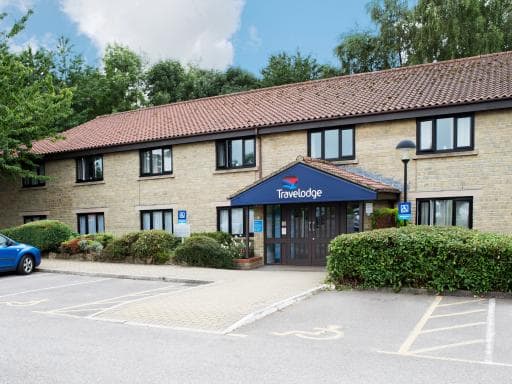 |
| View entry for Travelodge Beckington on Bed Map |
Is a Hotel Missing?
Let us know the Name, Address and Postcode and we’ll add it to our listings.
Contact Us